
Capture every moment from above
Event Shooting
Wedding, Concerts, Gathering, Outdoors
Promotional Video
Aerial-montage as the background
Cityscape Aerial Filming
Shooting Hong Kong spots, days and nights
Ultimate Aerials, Data-Powered.
Site Progress Shooting
Aerial imaging / video
Site 3D Mapping
Photogrammetry
Site Surveying
Topographic and boundary surveys
AI Detections
Object count & detection
Thermal Imaging
Water leakage, solar panel infrastructure detection
Dimension Measurement
Object target dimension via high-res imaging
Aerial Perspectives to Reveal Our Best Community
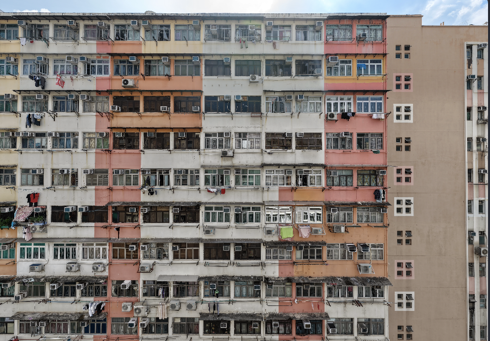
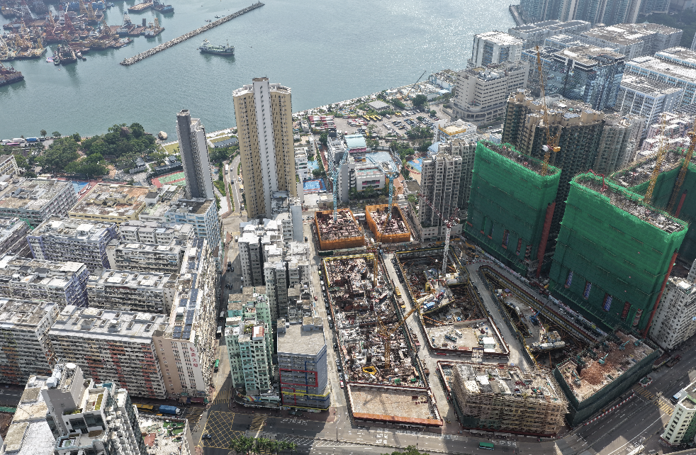
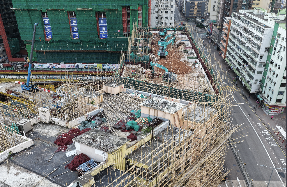
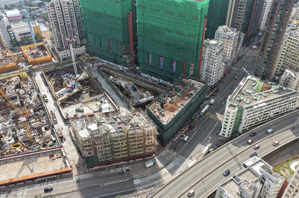
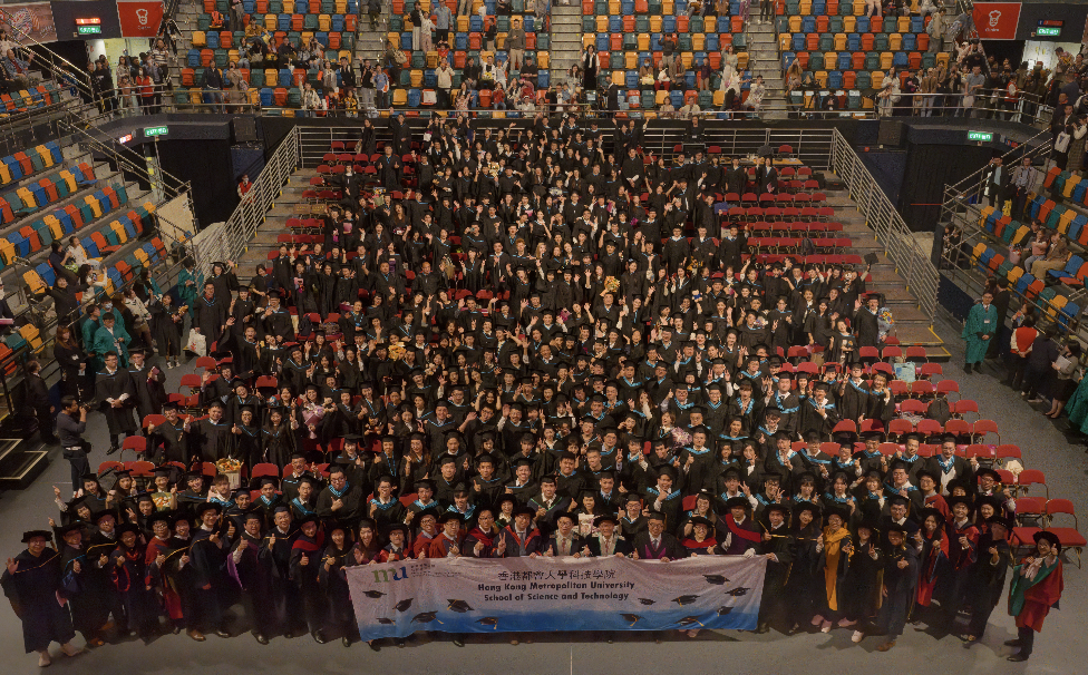
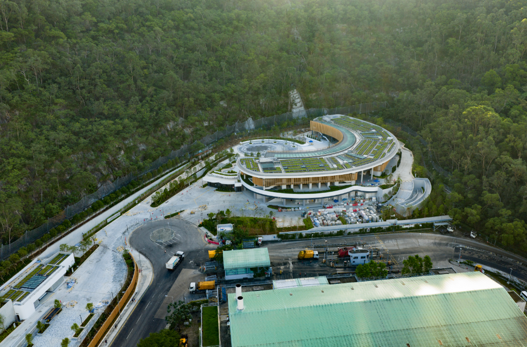
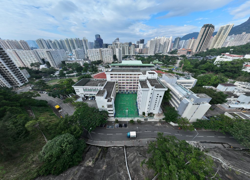
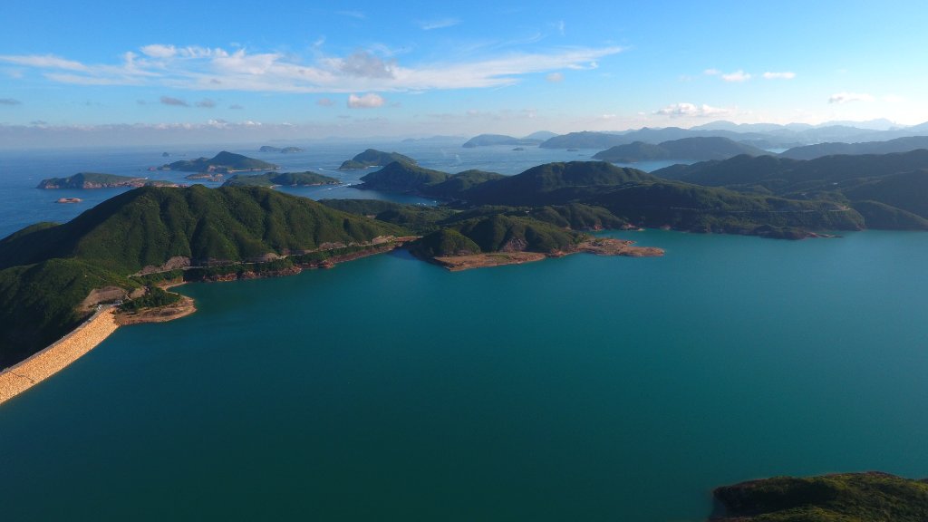
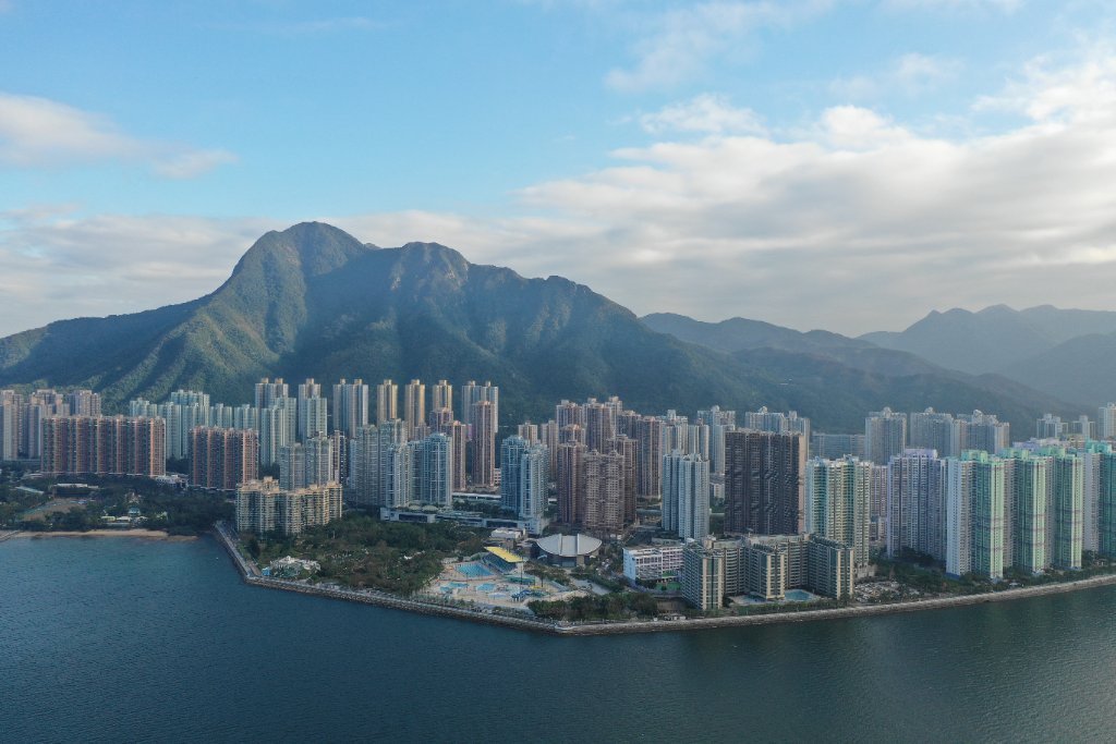
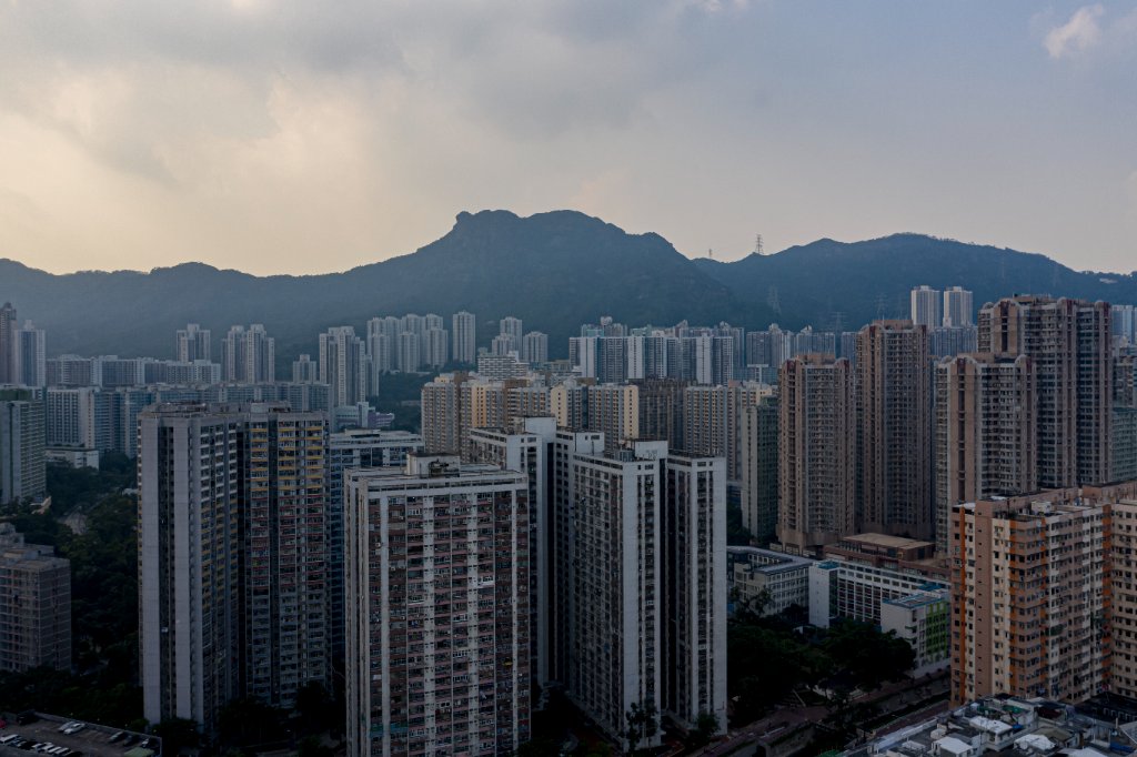
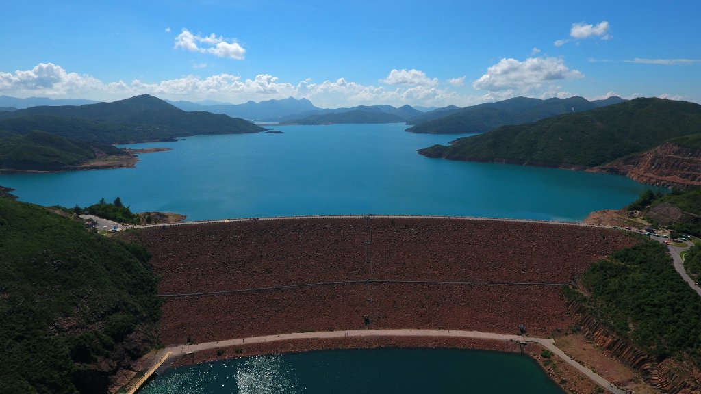
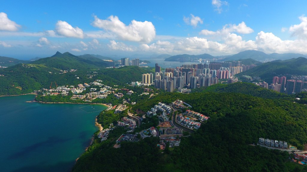
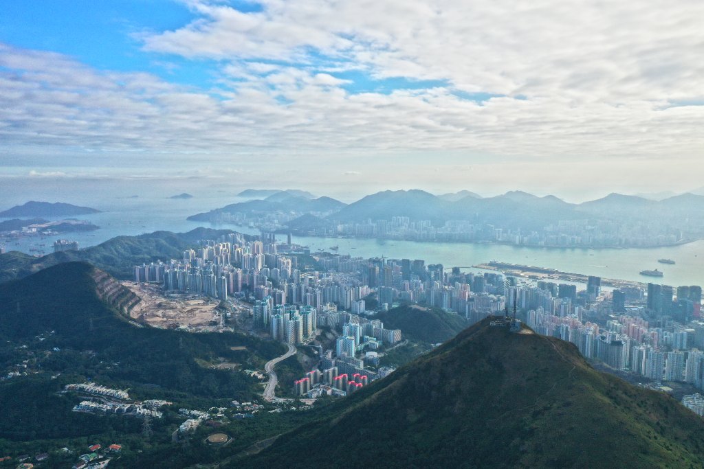
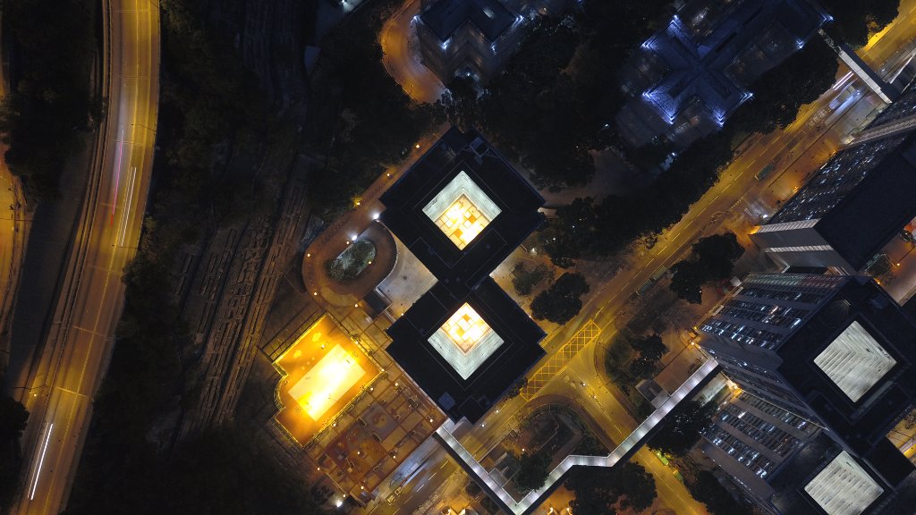
Some images were captured before the new UAV regulations took effect in 2021. Certain locations were not Restricted Flying Zones (RFZ) at the time but may now be designated as such.


Equipment We Use
DJI flagship drones — Mavic 4 Pro, Matrice 4T, Inspire 3 and more. We deploy on demand, matching your actual quality requirements rather than quoting expensive prices.
License & Quality Assurance
- Remote pilots are assigned an Advanced Rating (A/B) by the Hong Kong Civil Aviation Department, with over 10 years of commercial experience.
- Drones and pilot operations are covered by 3rd party liability insurance up to HKD 10,000,000.
- We hold an AC-006 advanced operations AOP permit from the Hong Kong Civil Aviation Department (HKCAD), allowing us to legally carry out demanding missions such as night flights and Extended Visual Line of Sight (EVLOS). With this qualification, we can also apply for Restricted Flying Zone (RFZ) approvals on our clients' behalf through a simpler, standardised process.
Inquiry Procedures
Tell us your needs
Site, deliverables, budget & timeline
Estimate & Propose
We estimate and counter propose
Finalise & Deposit
Finalise details, collect deposit
Operate & Preview
Operate and send footage preview
Final Delivery
Final deliverables to you
Final Payment
Settle the remaining balance
Client Portfolios
Aerial Videos
Government Department Project
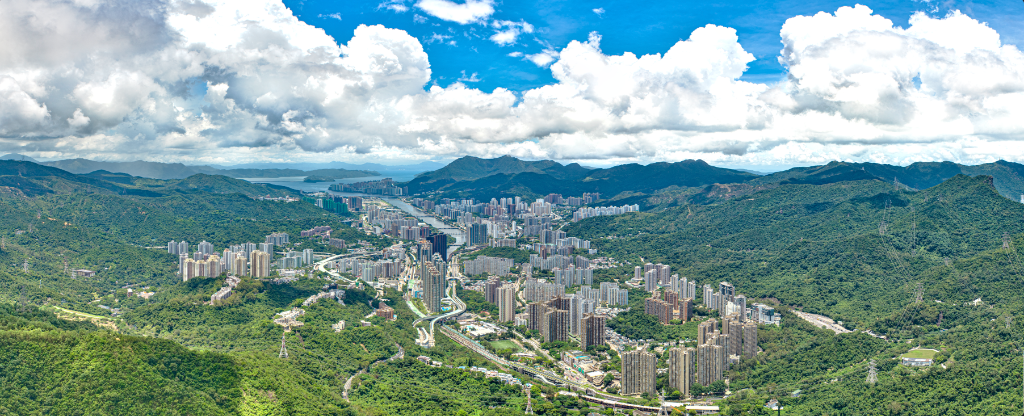
Large-format aerial panorama — Government meeting room backdrop
A high-resolution aerial panorama captured and stitched as a bespoke meeting-room backdrop for a government department.
3D Mapping Photogrammetry
Aerial 360° Image Samples
Drag to look around · Scroll to zoom
This is a low-resolution preview only. Actual deliverable quality can be up to 8K.
Hong Kong Drone Operations Services — Professional Aerial Filming, Drone Surveying & Inspection
CoLenS Studio (a COXANA brand) is a leading Hong Kong provider of professional drone operations services, delivering end-to-end drone aerial solutions. Whether you are a corporation, property developer, construction firm, government department, event organiser or marketing team, our licensed drone pilots tailor the ideal Hong Kong aerial services for your needs. Our commercial aerial team brings over 10 years of experience, a DJI flagship drone fleet, and an AC-006 advanced operations AOP permit from the HKCAD.
Why Choose Our Drone Operations Services?
Our Hong Kong drone team consists entirely of licensed drone pilots assigned an Advanced Rating (A/B) by the HKCAD, and covered by third-party liability insurance up to HKD 10,000,000. With our AC-006 advanced operations permit, our drone aerial services can legally perform night flights and Extended Visual Line of Sight (EVLOS) missions, and apply for Restricted Flying Zone (RFZ) approvals on our clients' behalf.
Aerial Filming — Capturing Moments for Events & Brands
Our aerial filming services cover event drone filming (weddings, concerts, corporate gatherings, outdoor events), promotional video drone production and cityscape Hong Kong aerial footage. High-quality drone photography adds a stunning dimension to promotional videos, social content and corporate presentations — distinctive commercial aerial visuals for your brand.
Drone Surveying & 3D Mapping — Precise Data for Engineering
For construction, engineering and property sectors, we provide professional drone surveying and 3D mapping. Through photogrammetry, our drone aerial operations generate high-accuracy 3D models, topographic survey data and site progress records — helping firms with volume calculations, progress monitoring and planning while cutting labour and time costs.